How far a station is allowed to reach
Power is the figure everyone quotes and the one that matters least. The real arithmetic runs through height above average terrain, a class table that trades one against the other, and a contour that is a statistical prediction rather than a boundary.
Ask what a station covers and you will usually be told a number of kilowatts. It is close to useless on its own. Two stations at the same power, one on a ridge and one on flat ground, cover areas that differ by a factor of several, and the licence knows it. The American FM allocation system is built around that fact: it does not grant power, it grants a combination of power and height whose predicted contour lands where a station of that class is supposed to land.
Effective radiated power is not transmitter power
Three quantities get confused. The transmitter's output is what leaves the amplifier. Some of it is lost in the feedline on the way up the tower, and the loss grows with height and with frequency. What arrives at the antenna is then shaped: a broadcast antenna is not a light bulb, it concentrates energy towards the horizon and away from the sky, and that concentration is expressed as gain.
Effective radiated power is the product: what reaches the antenna, multiplied by the antenna's gain in the direction of interest, quoted for FM relative to a half-wave dipole. A station running a 10 kW transmitter into a high-gain antenna stack may be licensed at 50 kW ERP without breaking any law of physics. The gain is bought by stacking antenna bays and by flattening the vertical pattern, which is why the antenna at the top of an FM tower is a column rather than a single element.
Two refinements matter in practice. Beam tilt aims the main lobe slightly downward so that the strongest field is not thrown over the heads of nearby listeners. Directional patterns squeeze the horizontal pattern to protect a neighbour, and turn a single ERP figure into a table of figures, one per bearing.
Height above average terrain
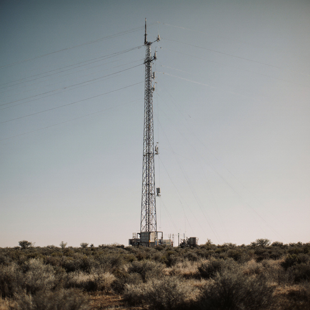
This is the number that does the work, and it is not the height of the tower. Height above average terrain, universally shortened to HAAT, compares the elevation of the antenna's centre of radiation against the average elevation of the land around it, measured along radials stretching from 3 to 16 kilometres out from the site.1
The consequences are counter-intuitive if you have only thought about tower height. A 60 metre tower on a mesa can have a far greater HAAT than a 200 metre tower on the valley floor below it. A site on a plain where the surrounding land is uniformly flat has a HAAT close to its physical height. And a station on a mountain that overlooks a plateau of nearly the same elevation gains very little, because the average it is measured against rose with it.
A licence does not grant a distance. It grants a contour, and then the terrain decides where that contour actually falls.
The rule behind every coverage map

The class table, and the trade it enforces
FM stations are sorted into classes. Each class has a maximum effective radiated power quoted at a reference HAAT. The pairing is the point: a station that wants more height must give up power, and one that sits low may use more power, so that both land on the same contour distance. Go above the reference height and the maximum power falls accordingly.
The classes come in two families. Classes B and B1 are used in the more densely allocated zones of the north-east and along part of the Gulf coast. The C family, from C3 up to C, is used across the rest of the country. Class A exists everywhere and is the smallest full-service class.2
| Class | Maximum ERP | Reference HAAT | Class contour | Distance to it |
|---|---|---|---|---|
| A | 6 kW | 100 m | 60 dBu | about 28 km |
| B1 | 25 kW | 100 m | 57 dBu | about 39 km |
| C3 | 25 kW | 100 m | 60 dBu | about 39 km |
| B | 50 kW | 150 m | 54 dBu | about 52 km |
| C2 | 50 kW | 150 m | 60 dBu | about 52 km |
| C1 | 100 kW | 299 m | 60 dBu | about 72 km |
| C0 | 100 kW | 450 m | 60 dBu | about 83 km |
| C | 100 kW | 600 m | 60 dBu | about 92 km |
Read the last two columns together. Classes B and B1 are protected at a lower field strength than the C family, which is how a 50 kW class B and a 50 kW class C2 end up with the same contour distance despite different numbers in the middle column. The table is a set of equivalences, not a ranking of transmitters.
What the line on the map actually means
A coverage contour is a line joining points of equal predicted field strength, expressed in decibels above one microvolt per metre and written dBu. It is derived from propagation curves that are explicitly statistical: the standard set predicts the field exceeded at 50 percent of locations, 50 percent of the time. Half the locations on the line do worse. Half do better.3
Two contours matter for an FM station. The class contour, in the table above, is the one other stations must protect. The principal community contour, 70 dBu, must encompass the community the station is licensed to serve. A station may reach far beyond its class contour on a good day and still be in breach if the 70 dBu line fails to cover its own city of licence.
None of this describes the listening experience directly. Two other things intervene, both set out in what is actually riding on an FM carrier: a receiver blends towards mono and loses top end long before the signal actually fails, and multipath in built-up terrain can ruin reception at a location where the predicted field is strong.
Translators, boosters and low power FM
Underneath the full-service stations sit three small services, constantly confused with one another.4
A translator rebroadcasts another station on a different frequency. It originates no programming of its own, beyond narrow exceptions such as fundraising announcements. Power is small, commonly up to 250 watts. A fill-in translator, the kind used to patch a terrain shadow or to give a medium-wave station an FM outlet, has the additional constraint that its own service area must sit inside the primary station's protected contour. That single rule explains most of the geography of translator siting.
A booster also rebroadcasts a parent station, but on the same frequency, and must stay within the parent's own protected contour. Because parent and booster occupy the same channel, they interfere with each other wherever both are audible, which is why boosters are placed to fill shadows rather than to extend range, and why timing and synchronisation are the whole engineering problem.
Low power FM is a separate service, created in 2000 and reserved for noncommercial local organisations. The current class is limited to 100 watts effective radiated power at 30 metres HAAT, which corresponds to a service radius of roughly 5.6 kilometres, about three and a half miles. It may originate its own programming, which translators may not, and it is the only route by which a genuinely small organisation gets a transmitter of its own.
The three services have very different standing in a dispute. Full-service stations are primary. Translators and boosters are secondary and must yield if they cause interference to a primary station, even one that arrives later. Low power FM sits in a category of its own whose protections have been argued over in Congress more than once.
Notes
- The method for computing height above average terrain, including the 3 to 16 kilometre radial range, is set out in the FCC rules at 47 CFR 73.313. Back
- Class maxima appear at 47 CFR 73.211 and the corresponding protected contours at 73.215. Zone assignments determine whether the B or the C family applies in a given place. Back
- The propagation curves used for FM prediction are published at 47 CFR 73.333 and are stated for 50 percent of locations and 50 percent of the time. Principal community coverage is required by 73.315. Back
- Low power FM is governed by Part 73 subpart G; translators and boosters by Part 74 subpart L. The 2010 Local Community Radio Act changed the channel spacing protections low power FM must observe. Back